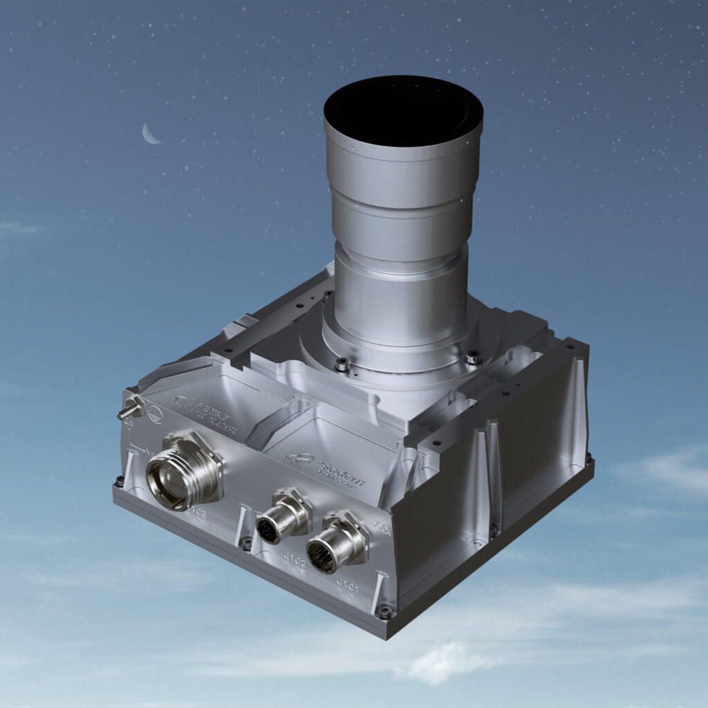
As global concerns grow over the vulnerability of satellite-based navigation, French space optics specialist Sodern has introduced a new tool designed to keep aircraft on course even when GPS signals go dark.
The ArianeGroup subsidiary unveiled Astradia, a compact star tracker intended for use on civil and military aircraft, ahead of its public debut at the 2025 Paris Air Show. Unlike conventional positioning systems, which depend on satellite signals that can be jammed or spoofed, Astradia uses celestial navigation, reading stars to calculate position and orientation.
While star tracking is a long-established technology in spaceflight, Sodern claims that Astradia is the first operational sensor of its kind, capable of working in the atmosphere during both day and night. When paired with an inertial navigation system (INS), the sensor can deliver accurate positioning data without external signals, offering a potential backup or even replacement for satellite-based systems.
A response to mounting navigation threats
The launch comes amid mounting disruption to global navigation satellite system (GNSS) services, particularly in eastern Europe. Following Russia’s invasion of Ukraine, several countries, including France, Finland, and the Baltic states, have reported frequent GPS interference, prompting temporary route suspensions and increased pilot training for degraded navigation environments.
Military forces have also stepped up contingency planning. France’s Air and Space Force conducted live GNSS jamming exercises in the spring of 2024, training crews to operate without satellite assistance. For aircraft involved in missions where stealth or signal denial is a factor, GNSS independence has shifted from a theoretical option to an operational requirement.
Astradia’s key selling point lies in its passive, signal-free operation. It does not emit radio waves, making it harder to detect and target. It also avoids a critical flaw in traditional INS systems: gradual drift. By regularly correcting INS measurements using stellar data, Sodern says Astradia can reduce error over long flights.
From defense prototype to commercial offering
Astradia builds on Sodern’s role in France’s VISION program, an initiative launched in 2016 by the French Ministry of Armed Forces to develop resilient navigation systems for military platforms. The project was jointly led by Sodern and Safran Electronics & Defense, with Sodern focusing on the stargazing technology and Safran overseeing the overall navigation integration.
As part of that effort, Astradia-like sensors have undergone flight testing aboard an ATR42 aircraft, demonstrating the ability to track multiple stars in daylight and maintain position estimates with a margin of a few hundred meters.
With these results in hand, Sodern is now aiming for the broader market. Weighing just under 3 kilograms and roughly the size of a shoebox, Astradia is designed to be easily integrated into a range of aircraft, including drones and intelligence, surveillance, and reconnaissance (ISR) platforms. The company states that commercial deliveries are scheduled to begin in June 2025, with a unit price of approximately €250,000.
Astradia is entering a niche but increasingly relevant segment of aviation technology: resilient PNT (positioning, navigation, and timing). While not a complete replacement for GNSS, it offers redundancy in contested environments, enabling accurate positioning without emitting detectable signals, a valuable asset for both civilian and military operators.
As Western militaries and even some civil regulators rethink navigation resilience, star-based systems like Astradia may find themselves in demand for the first time in decades.
The UK Ministry of Defence announced in May 2024 the first commercial flight trials of quantum-based navigation systems developed by Infleqtion, BAE Systems, and QinetiQ. Tested aboard a modified RJ100 aircraft, the Quantum Inertial Navigation System (Q-INS) utilized a compact optical atomic clock and ultra-cold atom technology, marking a first for in-flight testing of this technology.
These quantum systems, such as star trackers, promise navigation that is independent of GNSS, thereby enhancing resilience against spoofing and jamming in conflict zones. Ongoing efforts in France and the UK reveal a growing consensus: modern air power must navigate without relying solely on GNSS systems.


